March was a rather exciting month for us, the marine conservation team, as it was the month when we had our second annual Reef Health Monitoring (RHM). Compared to the first RHM, there were a few improvements made this year, both as a team and for myself.
For starters, we expanded our coverage area by adding one more location which was Telaga. Because the scope was wider, the team also required more people, thankfully we had Sopi and Martin from Bawah Reserve who joined us.
Personally, the second year of this activity was different for me because I was now the Junior Marine Biologist at the Anambas Foundation. Back then when we did the first RHM I was interning at the Foundation and had only recently arrived in Kiabu Village. As an intern who had just completed my last semester at the university, RHM was something new to me because my undergraduate degree was in marine science, focusing on sharks and rays conservation. I learned a lot from that experience, not only about the activity itself but also about the underwater ecosystems of Kiabu.
For this second RHM, the team had given me the responsibility to do data collection on coral fish. There were a total of 15 data collection points, eight were in Kiabu and seven were in Telaga. We started the RHM in Kiabu area because that’s where we are based. The eight collection points were located in these five locations: Kiabu Island, Catok Island, Semut Island, Gembili Island and Raya Bay.
On our first day, we were greeted with a heavy downpour during our trip to Gembili Island using a local boat. It was a bit unusual for heavy rain to occur around March as the rainy season was supposed to end in December. Despite the unfriendly weather, we were able to complete the data collection from two points around noontime and ended the first day with a lunch by the sea, all the while swapping stories about marine conservation with the Bawah Reserve team.
On day two, we went to four collection points located in Raya Bay and Kiabu. Data collecting in these two locations was easier and quicker because we had already deployed permanent transect lines from the previous monitoring and thankfully they were still in good condition so it was very easy for us to spot them underwater. While data collection usually took 30 to 40 minutes, we were able to complete it in just 20 minutes.
On day three we went to the furthest location from Kiabu Village: Catok Island and Semut Island which took us one hour to get there. Under the Marine Protected Area (MPA) zoning system, Catok Island is located inside the Sustainable Fisheries Zone. This place also has the highest abundance of fish and many varieties of colorful soft corals.
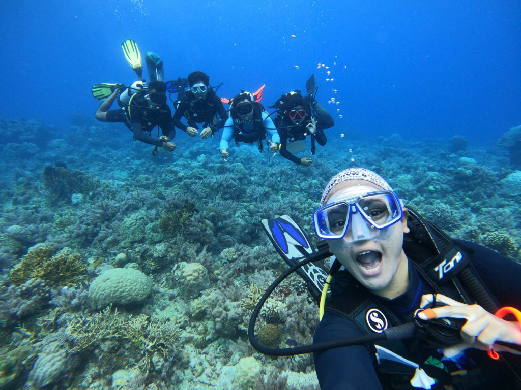
it’s a stark contrast to Semut Island where our coral restoration project is located. Underwater ecosystems in Semut have suffered a lot from past blast fishing done by irresponsible fishermen. Similar conditions are also seen in Gembili and Raya Bay. Even though these two locations are in the Core Zone where no human activity is allowed, Gembili and Raya also have plenty of coral fragments due to past harmful fishing practices.
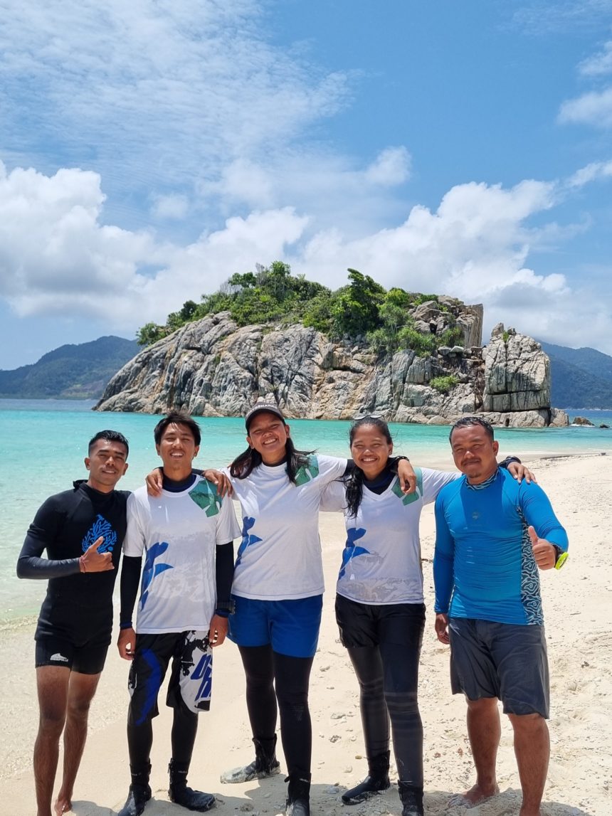
After we were done collecting data in Catok and Semut we made a stop on Hiu Island which was not far away from the two locations. Hiu is a popular place among the people of Kiabu due to its beautiful white sand beach and an instagrammable standing rock by the sea. The opening image of this article was taken at Hiu.
After a day of rest, the next day we travelled to Telaga Island, I was excited about this trip because it was my first time visiting the place. It took us three hours to get to Telaga from Kiabu. On our arrival, we were welcomed by Husni, the Telaga Village Facilitator who oversees the Organic Farming program in the village.
The Anambas Foundation’s house in Telaga was close to the jetty area, it was located on the seafront with a view of the crystal blue water from its windows. I stayed up late on our first night in Telaga because I couldn’t take my eyes off the beautiful starry night sky.
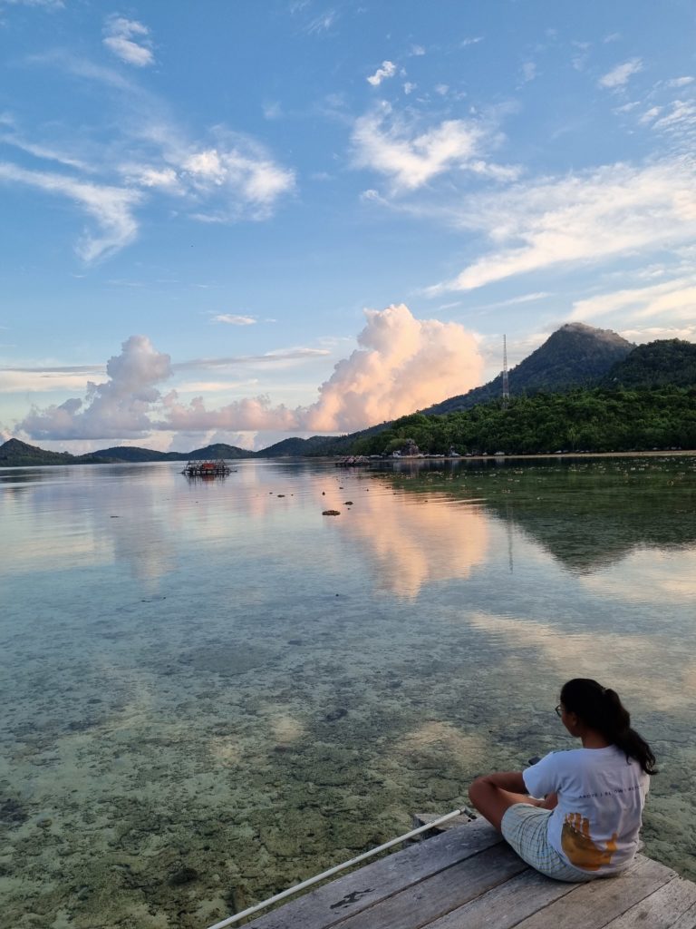
The next day, early in the morning, I woke up to the sight of middle school students on their way to the jetty to board a boat that would take them to their school. Telaga Village consists of two separate hamlets, and the school is sandwiched between them. It’s possible to travel on foot to go to the school, but using a boat is more time-efficient and less tiring for the students.
We also met with bang Erol, an organic farmer who participates in the Foundation’s Organic Farming program. Throughout our stay in Telaga, after an exhausting day of doing the RHM, we always ordered plenty of coconuts from his farm.
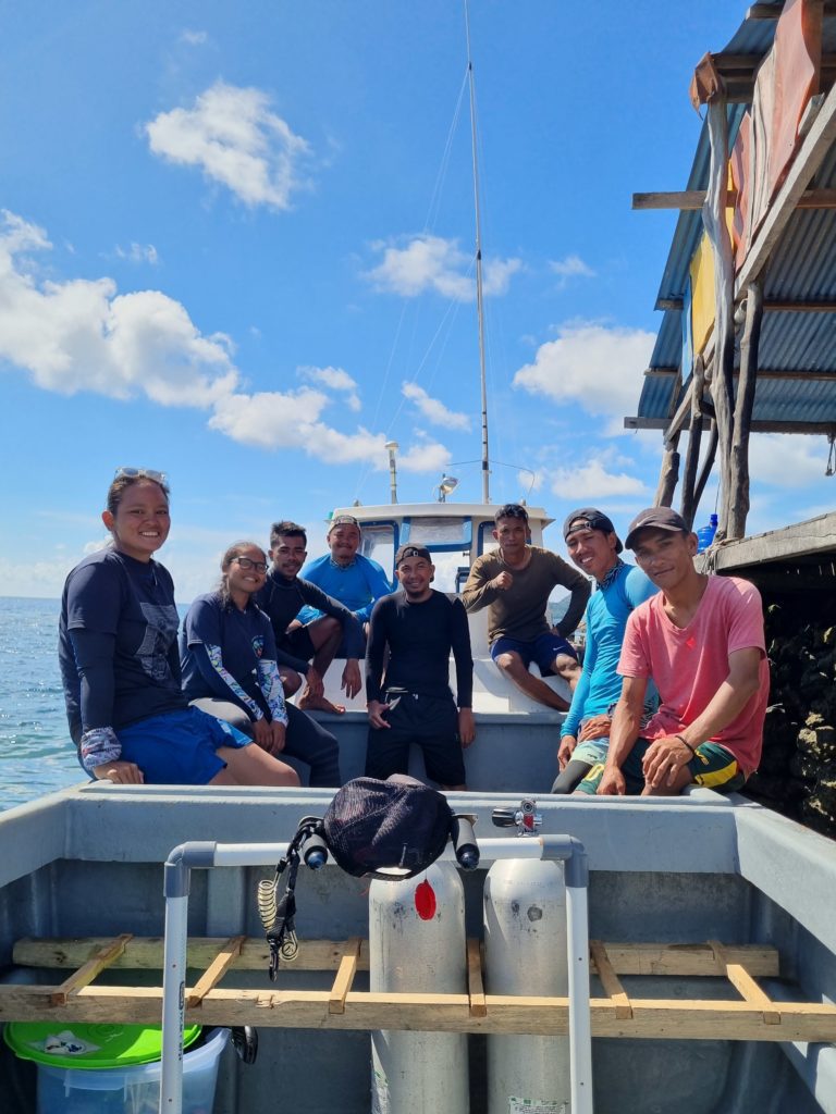
On the second day in Telaga, we were busy preparing for our first RHM there. The night before, we had a small gathering with the villagers to talk about the locations for the RHM. We settled on seven collection points from these places: Kianume, Tokong Linau, Lima Island, Hias Bay and Tanjung Dusun. We chose these locations because we wanted to update the current data by the LKKPN Pekanbaru. Its latest record was from 2015.
The LKKPN Pekanbaru had already deployed permanent transect lines there, so as the first stage of our RHM we snorkelled to look for them. It was quite difficult finding the permanent transect lines as it had been seven years since they were first installed, we discovered some of the transect lines were covered by corals.
After we identified the transect lines we then officially began our RHM. The first location that we went to was in Kianume
On the next day, we went to Tanjung Dusun and Hias Bay. Just like Hiu Island, the beach at Hias Bay is a popular tourist spot among the Telaga community because of its white sand beach that stretches up to one kilometre.
We went to Tokong Linau on the following day which was located in the Core Zone. In Malay tokong means a rock that is as big as an island. I was amazed by the contours of the rocks that stuck out of the sea. Underwater, these rocks formed a tunnel that, if you were brave enough, people could explore. The team and I wanted to see what was inside the tunnel but unfortunately, we did not bring a flashlight with us.
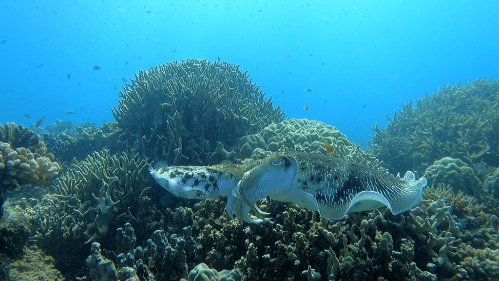
Despite that, we encountered a rare sighting while we were collecting data at Tokong Linau, we saw a pair of mating cuttlefish and then discovered where the female cuttlefish laid their eggs in between corals.
On the final day of RHM we went to Lima Island. Although the coral reefs at Lima weren’t as beautiful as the previous locations, this place was great for snorkelling because of the many fish varieties and density of corals that you would encounter at the depth of two to three meters.
The RHM in Telaga was completed in four days and we returned to Kiabu the next day. As of this writing, we are in the process of analyzing the data and soon will release the 2022 Reef Health Monitoring Report on this website.
